The Duncan Lardeau focal area was added in Year 5 (2023-2024) of Kootenay Connect Priority Places. Highlights from Year 5 (2023-24) to Year 7 (2025-26) are listed below.
Year 7 (2025-26)
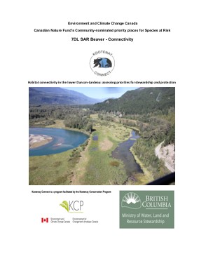
In this final year of a 3-year project with Kootenay Connect Priority Places, we overlaid present land ownership and protected status over mapped habitat features, species at risk locations and ecological rankings to assess gaps in protection and stewardship and to identify priorities for improvement. We found weak links in the protection of valley-bottom riparian habitats and riparian-upland travel connectivity for wildlife, but there are feasible options for addressing these gaps. The existing Nature Trust of BC titles and a loosely defined unit currently known as the Duncan Lardeau Conservation Properties (DLCPs) provide a foundation on which to build a viable habitat complex on the Duncan-Lardeau floodplain to endure into the future.
Year 6 (2024-25)
Please see Project Overview Year 6 Highlights for an update on Species at Risk.
Year 5 (2023-24)

The Duncan Lardeau (DL) Connectivity subproject has identified and mapped 29 travel routes/corridors known by the author (BH/NK) to have been used by wildlife over the past 20 years and currently (2023). Most of those shown are large mammal trails, obvious tracks indicating use by deer, elk and sporadically various carnivores. Three road-crossing zones used or potentially used by amphibians and reptiles are also mapped. We will also be providing a layer from Dr. Michael Proctor which indicates routes used by grizzly bears in moving through the project area. The apparent threats to connectivity in the mapped corridors are ranked in terms of threat status and priority for attention.
