The Duncan Lardeau focal area was added in Year 5 (2023-24) of Kootenay Connect Priority Places.
Year 7 Highlights (2025-26)
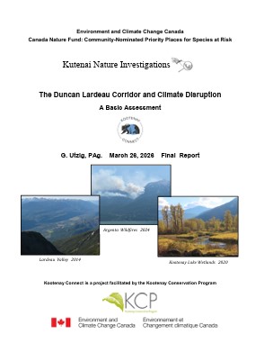
The Duncan Lardeau Coridor includes the watersheds draining into the North end of Kootenay Lake, the Lardeau River, and the Duncan River and Duncan Reservoir south of Hall Creek. For the climate change analysis, the assessment area encompasses an area defined by watershed boundaries that slightly enlarges the Duncan Lardeau Corridor to coincide with topographic features that are associated with important climatic variables. As climate disruption continues and intensifies, warming temperatures and changes in precipitation patterns are projected to have profound impacts on the habitats of the corridor over the coming decades. The potential for increasing drought and a more frequent fire regime may result in shifts from continuous closed forest to open mixed forest, savanna, or even grassland/steppe ecosystems in the valley bottoms. Decreasing snowpacks and increasing wildfire activity will increase the importance of riparian habitats for connectivity within the corridor. This assessment has therefore focused on factors that may affect wildfire activity, hydrologic regimes of the major creeks and rivers, and associated riparian ecosystems.
